Birding Sites in the Finger Lakes
TOMPKINS COUNTY
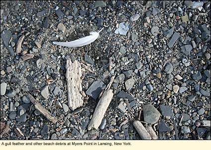
Myers Point
Coordinates: 42.539°N 76.535°W
Map
GENERAL INFORMATION
On the eastern shore of Cayuga Lake in the Town of Lansing, Salmon Creek enters the lake. The spit of sediment created by these two different currents of water is called Myers Point at the end of which is an attractive operating lighthouse. The Point is maintained by the Town of Lansing Department of Parks & Recreation as part of Myers Park, which provides a variety of recreational services, including camping, picnicking, and two marinas. During the summer an entrance fee is charged.
Oddly enough, it's during the rest of the year, when the entrance fee is not charged, that Myers Point seems to come alive for the birder. Myers Point is one of those places that seems to have either nothing of interest or something absolutely fantastic. And this doesn't change from day to day but from minute to minute. Many local birders have found (to their frustration) that they arrived to find only a loafing gull or two and that, after having left, someone else arrived to find something rare or unusual "right out in the open." For this reason, some local birders check the Point every day during the autumn and winter and sometimes more than once a day. If you're birding in Lansing, you would be wise to check Myers Point as well--a scope can come in handy. The best time seems to be early in the morning. In the autumn and winter, winds can be brutal, so dress accordingly.
Here are some of the birds you might see: a variety of gulls, hooded and common mergansers, several species of sandpipers, dunlin, plovers, turnstones and other shorebirds, Canada geese, brants, mallards and other common lake and puddle ducks, the odd tern, a variety of swallows, killdeer, great-crested cormorants, swans, loons, and birds typical of campgrounds. On 9 September 2007, a lark bunting was seen at the Point by two local birders, Ken Rosenberg and Mike Anderson. And on 21 September 2008 a magnificent frigatebird was seen at Myers Point. (See photos, learn about the bird and what happened to it.)
SALT POINT
On the other side of Salmon Creek is a rounded spit of land called Salt Point. This area, too, is maintained by the Lansing Department of Parks & Recreation. At the moment, it has very little to attract the birder, but it is accessible and should be checked if you're at Myers Point.
DIRECTIONS
From State Route 34B (also known as Ridge Road) in the Town of Lansing, turn west onto Myers Road. Take it all the way (less than 1mi./1.6 km.) until you enter Myers Park, then wind your way through the park to the parking area near the shore. The lighthouse is on the point.
To get to Salt Point from Myers Point, drive out of the park and turn north (left) on Lake Shore Road. Cross over Salmon Creek and take a left to the point.
Nearby birding sites:
Edwards Lake Cliff Preserve
Salmon Creek Bird Sanctuary
21 September 2008
|
|
|
