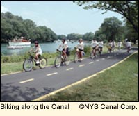
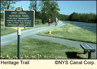
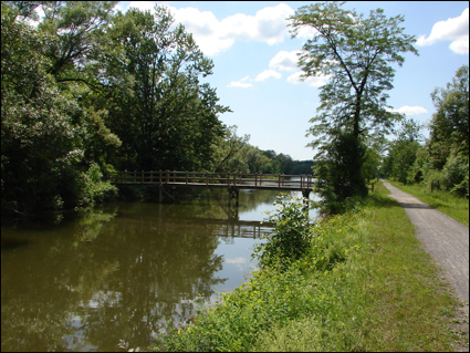
Home > Recreation > CanalsThe Canalway Trail SystemNATIONAL HERITAGE CORRIDORThe Erie Canal has been designated by the U.S. Congress as a National Heritage Corridor. The Canalway Trail System is made up of four major segments: the 120-mi./193-km. Erie Canal Heritage Trail; the The Erie Canal Heritage TrailThis trail begins in Tonawanda (Erie County) and runs through Orleans and Monroe counties, ending in Clyde i Length: 120 mi./193 km. Trail Surface: stone dust, asphalt in Tonawanda and Rochester Trail Uses: hiking, biking, in-line skating, cross-country skiing Campsites: At Lock 30 in Macedon (Wayne County), Holley Canal Port (Orleans County) Access/Parking: where roads intersect the trail
From Clyde to the Old Erie Canal State Park in Fayetteville is a 60-mi./96.5 km. section through eastern Wayne, Cayuga, and Onondaga counties with both on- and off-road segments. When you reach Camillus, just west of Syracuse, take time to stop at the Erie Canal Park. Learn about the history of the canal, see a replica of a canal store, and see the Nine Mile Creek Aqueduct. Boat tours, including dinner cruises, are also available.
Leaving Camillus, the trail dips south of Syracuse to link with the Old Erie Canal State Park Trail in Fayetteville. The Old Erie Canal State Park TrailThis scenic linear trail begins in Dewitt (Onondaga County) and ends in Rome (Oneida County). Length: 36 mi./58 km. Trail Surface: stone dust, gravel Trail Uses: hiking, biking, in-line skating, cross-county skiing, snowmobiling, horseback riding, canoeing, kayaking Campsites: Green Lakes State Park and Verona Beach State Park Access/Parking: Poolsbrook and Cedar Bay picnic areas and most intersections
Doing Just the Finger LakesThe ride/hike between Brockport at the western end of Monroe County and Kirkville at the eastern end of Onondaga County is about 120 mi./193 km. The mid-point is somewhere between Clyde and Weedsport. Because the trail is relatively flat, a biker should be able to ride the entire 120 mi./193 km. in about two days. This doesn't account for stopping to visit in the many charming villages and interesting sites along the way, which could easily turn the trip into a 5- or 6-day affair. The Return JourneyHarvey Botzman, author of Erie Canal Bicyclist & Hiker Tour Guide (published by Cyclotour Guide Books), suggests taking the train. If this idea appeals to you, visit Amtrak and click on "Routes." From the list provided, click on "Empire Service." This will show you the various stations served along the Erie Canal route.
Harvey has also taken the bus. If that sounds more appealing to you than the train, visit Trailways and take a look at their route map. The route between Buffalo and Albany is also serviced by Greyhound. GuidebookParks & Trails New York, a non-profit organization working statewide to protect New York's parks, has published Cycling the Erie Canal: A guide to 400 miles of adventure and history along the Erie Canalway Trail. The book contains 135 pages and 42 maps. It costs $19.95 and can be purchased from the organization's web site. Rail TrailsParks & Trails New York also puts out a guide titled "Ten Terrific Rail Trails in New York" that is free for the downloading. The guide includes the Erie Canal Heritage Trail and the Old Erie Canal State Park trail. Organized TripParks & Trails New York holds an 8-day, 400-mi./643.7-km. bike trip along the Erie Canal from Buffalo to Albany every July. This is the only organized trip along the Canal.
Updated 20 September 2010
|
|
|


 36-mi./58-km. Old Erie Canal State Park Trail; the 60-mi./96.5-km. Mohawk-Hudson Bikeway; and the 8-mi./12.8-km. Glens Falls Feeder Canal Trail. Two of these trails run through parts of the Finger Lakes. All major segments of the Canalway Trail are marked with Canalway Trail blazers (circular markers). For a free map of the Canalway Trail System call 800-422-6254 or write New York State Canal Corporation, P.O. Box 189, Albany, NY 12201-0189. For hikers and bikers, this printed map is more detailed and more useful than the
  n Wayne County.