- Site Indexes
- Search by Keyword
- Search by Topic
- Search by Place
- Things to Do
- Entertainment
- Recreation
- History
- Basics
- Accommodations
- Have Some Fun
- Fun Stuff
- Kid Stuff
- Food and Recipes
- Send a Postcard
- Wallpaper
- Our Site
- Site Info
- Contact Us
- Home
xxxx
xxx

x
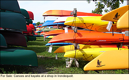
Home > Recreation > BoatingStreamflow Conditions in the Finger Lakes
The U.S. Geological Survey (USGS) maintains the National Water Information System, which provides a variety of information on rivers, streams, and creeks in the Finger Lakes region. Although this information is considered to be "real-time," it can change suddenly depending on a variety of factors, such as weather; sediment, ice, or debris movement; or the malfuntioning of monitoring equipment. It should be considered a guide only.
Below is a list of rivers, steams, and creeks in the Finger Lakes that are monitored by the USGS. Click on the body of water for information about streamflow.
Canacadea Creek near Hornell Canandaigua Outlet at Chapin Canisteo River at West Cameron Canisteo River below Canacadea Creek at Hornell Chemung River at Chemung Chemung River at Corning Chemung River at Elmira Cohocton River at Avoca Cohocton River at Bath Cohocton River near Campbell Fall Creek near Ithaca Genesee River at Avon Genesee River at Ballantyne Bridge near Mortimer Genesee River at Portageville Genesee River at Wellsville Genesee River near Mount Morris Harbor Brook at Hiawatha Boulevard, Syracuse Harbor Brook at Syracuse Honeoye Creek at Honeoye Falls Ley Creek at Park Street, Syracuse Onondaga Creek at Dorwin Avenue, Syracuse Onondaga Creek at Spencer Street, Syracuse Owasco Outlet at Genesee Street, Auburn Owego Creek near Owego Seneca River (Erie Canal) near Port Byron Seneca River at Baldwinsville Sixmile Creek at Bethel Grove (Ithaca) Susquehanna River at Owego Susquehanna River near Waverly Tioga River at Lindley Tioga River at Erwins Tioughnioga River at Cortland Tuscarora Creek above South Addison
Created 9 August 2009
|
|
|